Fraser Island National Park -GPS and outdoor map with guide 2.5
Paid Version
Publisher Description
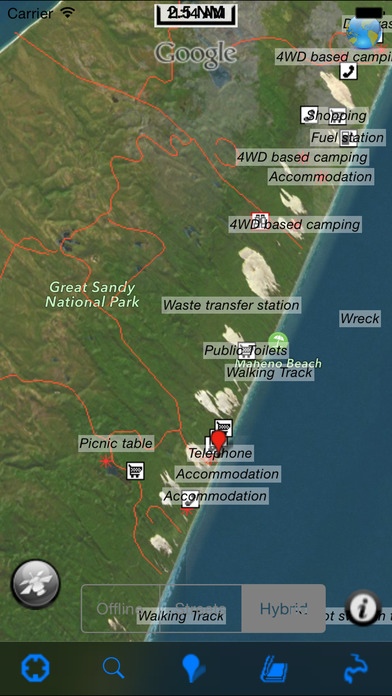
National Park: Fraser is the world's largest sand island. More than 98 % of its coverage is part of the larger Great Sandy National Park. So special are its natural features that all of Fraser Island is World Heritage-listed. Fraser offers endless recreational opportunities to visitors surrounding with bare sand blows, high dunes and colored sand cliffs, sculpted over time by wind, water and waves, sparkling freshwater lakes, Rainforests, Woodlands, Abundantly varied wildlife, fringed creeks, Beautiful sand beaches and more on the island. Map: Park map applications are extremely advanced contains embedded electronic charts with all information collected from the National Park Service and local sources. The maps contain all multiple trails (Hiking, biking, Stairway trails, Bicycle trails, Equestrian trails etc.,) and Point of interests (POI) like Campgrounds, Eating places, Ranger Stations, Picnic areas, Boat/Canoe launching, Parking areas etc., Features: Navigation Compass Gps Position Offline Map Record & Email Tracks Find Speed & Distance towards Target Find Direction & Angle towards Destination Set On/Off Land Elevation Contours Insert Unlimited Favorites ..more features inside Map! A Guide is also provided for user quick reference Every effort is made to be as accurate as possible when presenting information for every destination. Have a Great Journey" "Continued use of GPS running in the background can dramatically decrease battery life."
Requires iOS 8.0 or later. Compatible with iPhone, iPad, and iPod touch.
About Fraser Island National Park -GPS and outdoor map with guide
Fraser Island National Park -GPS and outdoor map with guide is a paid app for iOS published in the Recreation list of apps, part of Home & Hobby.
The company that develops Fraser Island National Park -GPS and outdoor map with guide is Flytomap. The latest version released by its developer is 2.5.
To install Fraser Island National Park -GPS and outdoor map with guide on your iOS device, just click the green Continue To App button above to start the installation process. The app is listed on our website since 2016-02-02 and was downloaded 6 times. We have already checked if the download link is safe, however for your own protection we recommend that you scan the downloaded app with your antivirus. Your antivirus may detect the Fraser Island National Park -GPS and outdoor map with guide as malware if the download link is broken.
How to install Fraser Island National Park -GPS and outdoor map with guide on your iOS device:
- Click on the Continue To App button on our website. This will redirect you to the App Store.
- Once the Fraser Island National Park -GPS and outdoor map with guide is shown in the iTunes listing of your iOS device, you can start its download and installation. Tap on the GET button to the right of the app to start downloading it.
- If you are not logged-in the iOS appstore app, you'll be prompted for your your Apple ID and/or password.
- After Fraser Island National Park -GPS and outdoor map with guide is downloaded, you'll see an INSTALL button to the right. Tap on it to start the actual installation of the iOS app.
- Once installation is finished you can tap on the OPEN button to start it. Its icon will also be added to your device home screen.
